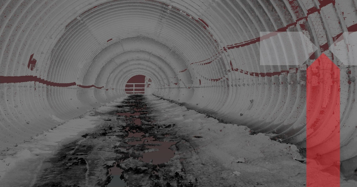
Having a 3D Lidar scan of your property can be a valuable asset, giving you the ability to see and understand what is happening on your land. A 3D Lidar scan captures all natural and man-made objects in three dimensions. It uses lasers and sensors to create accurate measurements of height, length, width, depth and volume.
At Tesoli, we specialize in 3D Scans and providing one of the most valuable processed survey data available on the market, as well as producing state-of-the-art reports that assist our clients' decision making. These reports are tailored to our clients' specific requirements. Heavy civil construction projects are something we've done before. At Tesoli, we offer 4 distinct advantages which are...
1) Experience in heavy civil construction projects
2) More than 20 years in civil engineering experience
3) Our team has the best training for hazardous areas
4) State-of-the-art technology
We're experts in turning raw data into a precise and measurable product that will save you time, provide assurance to make the best judgments, and bring value to your projects.
Experience the difference with Tesoli, and how 3D Lidar Scanning Services add value by giving you the ability to see and understand what is happening on your land. Get in touch with us today to get a quote!

