
Solutions
Tesoli is a 3D LiDAR scanning company in Canada that delivers some of the most useful processed survey information on the civil engineering market. Using state-of-the-art advanced hardware and software technology, we deliver unmatched reports for clients in the aerial world, architectural space, and more. Continue reading to learn how our land surveyors and high-definition 3D laser scanning can help you in these various industries.
High-Definition 3D Laser Scanning Aerial Solutions
Aerial high-definition 3D laser scanning is the process of capturing 3D data from a distance. Tesoli offers this service to provide high-resolution, accurate data for your engineering needs. Our team uses state-of-the-art LiDAR and photography equipment to capture 3D data while ensuring that all collected data is ready for 3D analysis.
With the help of our land surveyors and high-definition 3D laser scanning, you can make better decisions about your next construction or engineering project. Contact us today to learn more about how we can help you obtain the data you need to complete your project successfully.
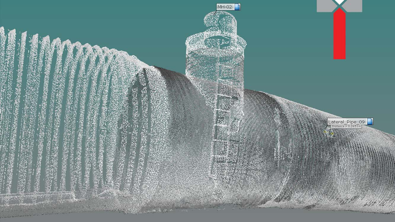
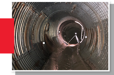
Tunnel Surveying & 3D Laser Scanning Solutions for Underground Engineering
The 3D LiDAR laser scanning performed by Tesoli is the latest and most advanced technology for obtaining underground data. The Tesoli team has years of experience in 3D high-definition laser scanning for civil engineering projects, especially tunnels. Our 3D high-definition laser scanning is the perfect solution for civil engineers working on tunnel projects as it provides high-definition results with acute accuracy. This data can be processed into a 3D point cloud and used to create various views, models, and profiles. We'll convert this data into an easy-to-digest format so you can make better-informed decisions about your infrastructure, construction, and engineering projects.
Tesoli's 3D high-definition laser LiDAR scanning is also perfect for obtaining chamber data. Our team can scan any size or shape of the chamber, including those with complex shapes and multiple entries/exits. We'll process the 3D scan data into 3D point clouds and deliver it to you in an easily understandable format. This data is perfect for further analysis and for creating models that will help you with your engineering projects.
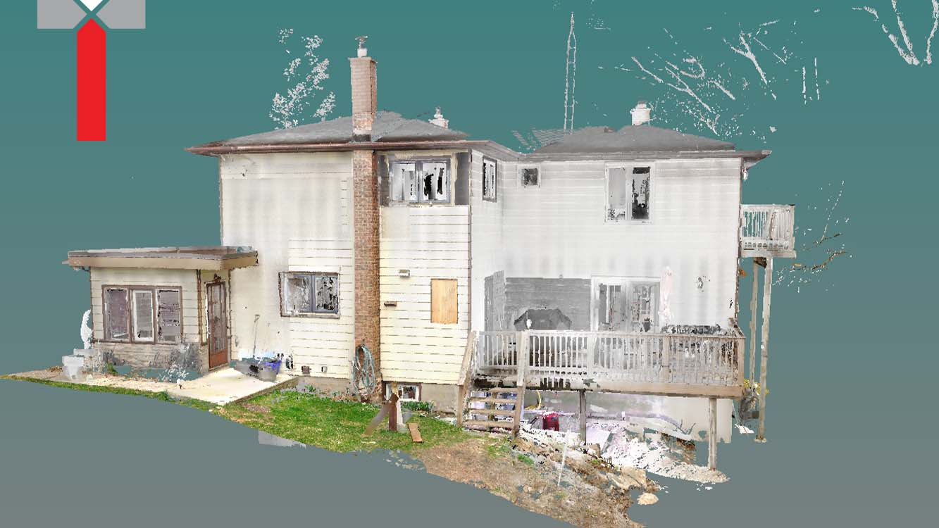
Land Surveyors Providing Aboveground Solutions
We understand that every client has different needs, which is why we tailor our services to suit your specific requirements. If you need to obtain accurate data aboveground, our land surveyors use 3D high-definition laser scanners to capture high-definition data of landscapes, buildings, and more. This data can be processed into 3D models and used for further analysis or for creating civil engineering plans and designs.
3D High-Definition Laser Scanning for Architectural Engineering
Using 3D LiDAR laser scanning we provide architects with an ultra-wide sweep of the scanned areas. The collected data is then processed into a 3D scan data file which we translate into an easily comprehensible format featuring models and renderings which we will deliver to you. With this quantifiable deliverable, you save time without compromising value. This service is perfect for large-scale projects such as city planning.
Additionally, our team can scan any object, including buildings, statues, and even small objects, for architects focusing on smaller projects. So our 3D high-definition laser scanning provides solutions for whatever your next construction project entails.
In Tesoli, we pride ourselves on providing state-of-the-art 3D high-definition laser scanning for civil engineering and architectural projects.
Using the latest hardware and software technology, our team delivers unmatched results that improve the decision-making processes of engineering clients. Our land surveyors and 3D laser scanners provide high-definition data that is accurate, accessible, efficient, advanced, reliable, and professional. We understand that every client has different needs, which is why we tailor our services to suit your specific requirements. Contact us today to learn more about how we can help you obtain the data you need to complete your project successfully.