
Transportation and Infrastructure
Transportation and infrastructure cover a wide range of projects. These projects can take many hours and the data can be hard to interpret. To make these projects easier, the experts at Tesoli Services can use 3D LiDAR scanning to help you understand your land and data to make sure that your projects are completed on time and within your budget.
Tunnelling
Tesoli, we specialize in providing the tunnelling industry with a comprehensive range of deliverables created from 3D LiDAR scans. Whether you are building new tunnels or rehabilitating existing ones, we can assist you in recording the current conditions of your tunnels, monitoring settlement and convergence, creating accurate As-Built records, conducting baseline surveys, and superimposing subsequent surveys to highlight any changes that have occurred over time. Additionally, our products allow for non-destructive testing of liner thickness at every location of the tunnel, accurate determination of slopes, changes in alignment, angles, and dimensions, resulting in a highly detailed and precise 3D representation of your tunnel. Contact us today, and we'll work with you to create the deliverables that best meet your specific needs.
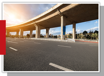
Bridges and Highways
Before you start building a bridge or highway, use 3D LiDAR scanning technology to analyze your project. Tesoli services can compile all of your data into easy-to-digest reports, so you and your team know you’re getting the job done right.
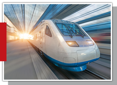
Mass Transit and Railroads
Working in the field of mass transit systems and railroads can be a significant challenge. To ensure that your design team has all the necessary information at their disposal, 3D LiDAR scanning can be an invaluable tool. With this technology, you can effectively cover all angles of your project, whether you are designing a new tunnel, rehabilitating an existing one, inspecting a culvert or underpass, assessing the condition of a structure, or obtaining accurate land surveying information. At Tesoli Services, our team of experts can help you create deliverables that are tailored to your specific needs.
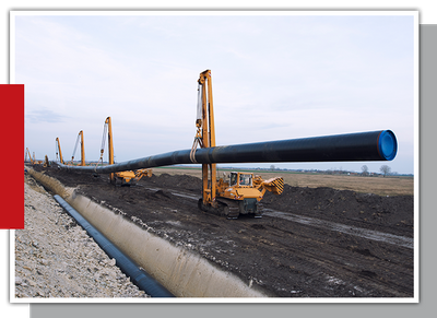
Pipelines
State-of-the-art 3D scanning technology allows for accurate creation and assessment of pipeline conditions. With 3D LiDAR scanning, you can obtain a detailed visual representation of your dig sites and pipelines, with measurements accurate to within 1mm. By utilizing 3D scanning throughout all construction stages, you can ensure your pipelines are thoroughly inspected, and your as-built data is recorded as you progress through your project. Whether you are constructing new pipelines or assessing existing ones, 3D scanning can provide you with the information you need to make informed decisions.
Need More Details? Contact Us
Tesoli Services has the tools and knowledge to help you with all your transportation and infrastructure projects. We craft factual reports to provide you with accurate and necessary information for the successful completion of your project. From rail lines to pipelines, we have you covered.